
Finding Rosenberg Neighbors Around an Address
There is no official street-by-street roster for Rosenberg. The practical public-record question is narrower: which parcels surround one address, who is shown as an owner or contact for those parcels, and what local context belongs to the block? Fort Bend County Public Mapping supplies the spatial view. Fort Bend Central Appraisal District, known as FBCAD, supplies the appraisal-side parcel record. The County Clerk’s Official Public Records index can then connect a parcel’s legal description to recorded instruments. Each source answers a different part of the question.
| Source | What It Shows About a Block | Access |
|---|---|---|
| Fort Bend County Public Mapping | Parcel shapes, adjacent lots, subdivisions, roads, MUDs, floodplain and planning context | Free map search, layers, click, zoom and pan |
| FBCAD property search | Parcel identifiers, owner display, situs address, legal description, values and taxing units | Free owner, address, ID and advanced search |
| County Clerk Official Public Records | Recorded deeds, easements, liens and related legal-description leads | Online index and image access where available; office and copy routes remain available |
| Texas HOA certificate search | Association and management-contact leads for a named community | Free state search by county, city, ZIP or association name |
| County elections resources | Precinct and registration-administration context, not an open block roster | Individual lookup and regulated public-list request use different routes |
These layers may overlap, but they do not establish the same fact. An FBCAD owner mailing address is a tax-mailing clue, not proof that the owner occupies the house. A parcel boundary is spatial context, not a survey. A deed can show a recorded transaction, but the newest relevant instrument and the current appraisal display still require careful comparison.
Rosenberg Parcels Shape the Block
Open Fort Bend County Public Mapping with the address, then use its search, layer, zoom, pan, and feature-click controls to see the immediate pattern. Parcel, subdivision, MUD, County Assistance District, FEMA floodplain, road, and plan layers help distinguish a single row of lots from a development that crosses a service or boundary line. The City Map Room adds city-limit, ETJ, annexation, plat, and planning context for a Rosenberg address.
A block can straddle a city, ETJ, precinct, MUD, or floodplain boundary. That matters because the office that assigns an address, issues a permit, or holds a local file may differ from the postal city written on an envelope. GIS gives a place to ask the next question. It does not prove title, current occupancy, a household relationship, or an individual’s voting status.
Fort Bend County’s Property Fraud Alert page describes a separate recorded-document monitoring tool for an owner name, business, or trust.
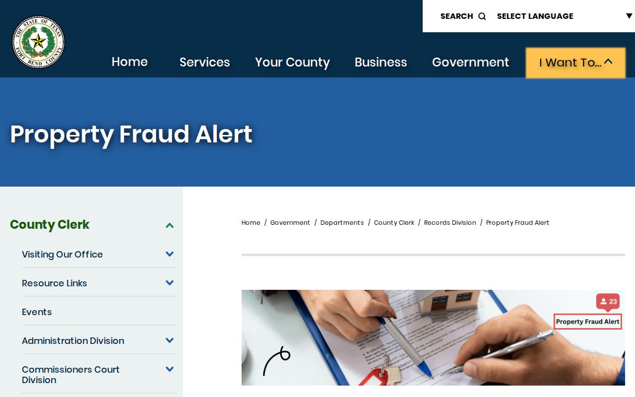
The alert notifies a subscriber when a selected name appears in a recorded document. It does not stop a filing, establish title, or replace checking the actual instrument in the Official Public Records system.
Trace a Rosenberg Block Through Parcels
Use an address-led sequence so the record trail stays tied to a real parcel instead of a common surname. Save the parcel or Quick Ref identifier and the legal description as you go. A situs address is the property’s physical address; it is different from an owner’s mailing address. That distinction keeps a neighbors search from turning an appraisal card into an unsupported claim about who lives there.
- Locate the starting address in county mapping and identify only the parcels that share a boundary or lie directly across the street.
- Search each parcel in FBCAD by address, Quick Ref ID, Geographic ID, subdivision, or simplified street name. Record owner display, situs, legal description, tax year, and taxing units separately.
- Compare the parcel’s legal description with the County Clerk OPR index. Search the relevant name in grantor and grantee roles, then inspect a public instrument image when one is available.
- Use the City map or county layers when a boundary, plat, MUD, road, or floodplain question explains the block. For a full named-street trail, use the Rosenberg Street Directory rather than extending a few parcels into an unsupported roster.
FBCAD’s help material advises simplifying an address by using street name and number without the street type when necessary. It also notes a name-spacing issue such as “McDonald” and “Mc Donald.” Search variants are useful for the appraisal index, but a match remains a lead until the legal description and a separate source support it.
Rosenberg Neighbor Records Have Roles
FBCAD’s current search has By Owner, By Address, By ID, and Advanced routes. The advanced fields include owner name, street number, street name, Quick Ref ID, Geographic ID, subdivision, neighborhood, property type, tax year, and other filters. It can return a parcel card with owner display, owner mailing address, situs address, legal description, value fields, taxing units, and sometimes transfer history. The public map excludes some personal, mineral, and mobile-home property, and the current-year value can be unavailable before certification.
- Parcel
- A mapped piece of real property used to connect an address with a parcel identifier and legal description.
- Situs address
- The physical address attached to property for appraisal purposes. It is not a statement about every person present there.
- Owner mailing address
- The address used for tax correspondence. It may be different from the property location.
- Legal description
- The recorded lot, block, subdivision, abstract, or survey description used to compare map and deed records.
The County Clerk describes its Official Public Records library as reaching from 1821 to the present, with records such as deeds, deeds of trust, easements, powers of attorney, bills of sale, liens, and assumed names. Its FAQ identifies party name, grantor, grantee, filing date, instrument number, and document type as search paths. Use the Clerk’s official search instructions or its Richmond office when the online portal’s session behavior prevents a needed inspection.
Rosenberg Neighborhood Association Contacts
The state HOA management-certificate search can be filtered by association type, name, Fort Bend County, city, or ZIP. A certificate can provide an association legal name, management company or contact details, and an address as filed. The system warns that certificates are submitted or contributed, so neither completeness nor reliability is guaranteed.
Community association leads
Fairpark Village, Briarwood Crossing, Rosenhaven, Seabourne, and Walnut Creek appear as Rosenberg-area names in the certificate search.
Additional certificate names
River’s Run at the Brazos, Brazos Town Center Reserve, Sunset Crossing, and Davina are further search terms from the same state source.
City civic clues
Villages of Town Center, Summer Lakes, Cottonwood, and Friends of North Rosenberg appear in a City HOA or town-hall context.
These are association and activity leads, not evidence that a resident belongs to a group. No official neighborhood-member roster was located. A management certificate is a way to find a recorded association contact, not a homeowner list or a permission slip to compile one.
Rosenberg Civic Records Around a Block
Plats, development matters, and public meetings can explain why a block looks the way it does without identifying private households. Rosenberg’s Planning Commission has a plat and replat role, while the City’s Boards and Commissions information identifies planning and development bodies, including the West Fort Bend Management District. Agendas and minutes can show when a subdivision, road, zoning item, development agreement, or district issue entered a civic record.
Rosenberg’s Boards and Commissions page is an official route to those civic bodies and their public meeting context.
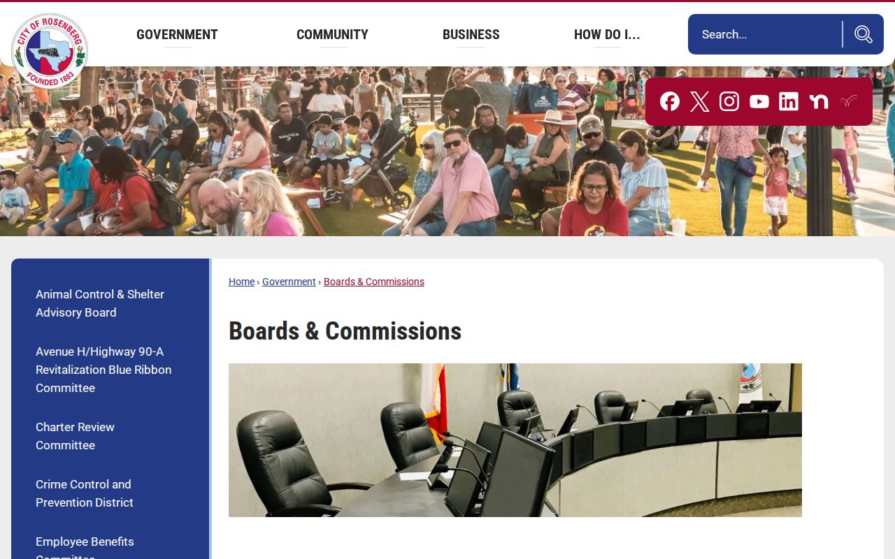
Meeting material can help connect a plat or development question to a date and agency. It does not establish that people near a project attended, supported, or opposed it.
For permit, planning, code, police, or municipal-court records not exposed online, the City Forms and QuickLinks page separates Police Records, Municipal Court Records, and General Records request routes. A focused request with an address, record type, and date range is more workable than a request for every item connected to a block.
Rosenberg Neighbors and Voter Records
Fort Bend’s View My Voter Registration form has a search-method control and fields for VUID, date of birth, first name, and last name. It is best understood as an individual self-lookup, not a tool for browsing nearby homes. The county maintains voter records and precinct tools, but a precinct is a geographic and election-administration context, not proof of a person’s private views or a reason to create a block list.
Texas has a separate SOS public-voter-information request route. It permits selected active, suspense, or cancelled records and several geographic filters, but requires a full street address, phone, a $75 deposit, and a notarized affidavit that the data will not be used to advertise or promote commercial products or services. Election Code restrictions protect specified information and regulate voter-list use. Confidential records and protected addresses must be excluded.
Note: A ZIP, precinct, map point, or voter-related record does not prove a person currently occupies a particular Rosenberg address.
Official Rosenberg Sources Versus Commercial Tools
Official records are usually narrower, but they show the custodian, field labels, access limits, and the kind of fact being reported. Commercial neighbor-lookup categories may combine copied material from many sources. That can be convenient, yet an old record, an unverified address, or a merged name can make the result misleading. Start with the parcel and the responsible office when the question concerns a Rosenberg block.
| Source category | Useful for | Limits to keep in view |
|---|---|---|
| Official mapping and appraisal records | Parcel location, owner display, legal description, taxing and boundary context | Informational records; owner data and GIS do not prove occupancy or title |
| Official Clerk and City routes | Recorded instrument, defined request, meeting, permit, or municipal record trail | Access, redaction, copy fees, and coverage vary by record family |
| Commercial neighbor-search category | A starting lead that should be checked independently | May be stale, incomplete, incorrectly merged, or unclear about its source |
The County Clerk, FBCAD, county GIS, and City GIS are especially useful together because each preserves a different link: appraisal parcel, spatial layer, recorded instrument, and municipal context. No single screen replaces the others.
Privacy Rules for Rosenberg Neighbor Research
Texas privacy protection is record-specific. Election Code §13.004 protects Social Security, Texas driver-license, and personal-identification numbers in voter material, while §18.008 and related provisions regulate voter-list content and use. The Texas Address Confidentiality Program provides a substitute mailing address for eligible victims of family violence, sexual assault, human trafficking, child abduction, and stalking. A protected address must not be reconstructed from parcel, court, voter, or directory clues.
The Texas Public Information Act, Government Code Chapter 552, provides a route to public information held by government bodies, subject to exceptions. It does not require an agency to create a new record or answer an open-ended research question. It also does not make utility data, delivery records, private phone information, protected household details, or a current-neighbor roster public.
Lawful use. Use Rosenberg neighbor research for property context, local history, and a defined public-record question. Do not use it to watch, contact, intimidate, stalk, harass, or harm anyone.