
Follow a Rosenberg Street by Address
An address-led Rosenberg street directory search should move from the physical place to the parcel and then to the recorded document. FBCAD can identify the appraisal parcel, its situs address, owner display, legal description, tax year, and taxing units. County or City GIS supplies the boundary and subdivision context. The County Clerk OPR index then provides the grantor and grantee trail behind an instrument. None of those sources is a full resident roster, and a mailing address on a parcel card is not proof that a person occupies the property.
- Normalize the number, road name, directional prefix or suffix, unit, city, and ZIP. Preserve the original form if the address is historical.
- Run the address through FBCAD By Address, then save the parcel identifiers, situs address, legal description, subdivision, and tax year.
- Open County Public Mapping or the City Map Room to confirm the parcel, adjacent lots, city limit or ETJ context, and relevant subdivision or MUD layer.
- Search the County Clerk OPR by the displayed owner as grantee, then work backward through grantor entries using instrument number, recording date, and legal description.
- For an older address, compare dated directory, telephone-book, obituary, tax-roll, map, or probate evidence with the parcel rather than assuming a modern number is unchanged.
Keep each fact in its own column: appraisal owner, owner mailing address, situs address, recorded party, and historical listing. A property owner, a registered agent, a permit applicant, and a person at the address can be different people. For a named-person question rather than a street trail, the Rosenberg resident lookup uses a separate verification path.
Rosenberg Street Directory Record Layers
Street research is strongest when the record layer matches the question. FBCAD is the appraisal and parcel route. County mapping gives spatial context. The County Clerk holds recorded instruments, and City records cover municipal permits, planning, code, or court material through their own request channels. Historical directories and telephone books can place people or subscribers in a dated period, but coverage is intermittent. USPS supplies delivery-format information, not proof of a person or municipal jurisdiction.
| Address Record | Coverage or Route | What It Can Show | Access |
|---|---|---|---|
| City addressing and GIS | Current incorporated-city address process | Address-point, street, FBCAD R-number, and municipal context | Public map; address point appears at large scale |
| FBCAD parcel record | Current appraisal and tax system | Parcel, owner display, situs, legal description, value, and taxing units | Free search; not title or occupancy proof |
| County Clerk OPR | Online library described as 1821-present | Deeds, liens, easements, DBAs, and legal-description chain | Public index; copy and image access varies |
| City permits and plans | MGO workflow from June 25, 2025; earlier material by request | Application, review, or inspection trail by project address | Portal or defined City request; application is not proof of completion |
| Historical directories | Known Rosenberg/Richmond issues from 1915 through 1986 | Dated subscriber, resident, or business context | Holding lookup, library, archive, or catalog route |
| USPS address search | Current delivery normalization | Postal formatting and ZIP clue | Free lookup; not occupancy or boundary proof |
Connect the layers with the parcel and legal description, not merely a street name. A road can run through more than one subdivision or jurisdiction. A deed may cover several lots, while one lot can have a changed street number. That is why a valid Rosenberg street directory result states which layer produced each fact.
Note: Parcel and legal-description matches are stronger than a street name when a road crosses a subdivision or jurisdiction.
Rosenberg Street Directory FBCAD Fields
FBCAD property search has By Owner, By Address, By ID, and Advanced routes. Its advanced fields include Owner Name, Street Number, Street Name, Quick Ref ID, Geographic ID, Subdivision, Neighborhood, Condo, DBA, Property Type, Tax Year, Abstract, MobileHomePark, Agent ID, Hearing Date, and Board Members. The field requirements were not stated on the rendered form, so leave a field blank unless the search itself calls for it. When an address returns nothing, FBCAD's help recommends simplifying to the number and street name and omitting the street type when useful.
| Street Number and Street Name | Address-led entry fields for locating an appraisal parcel; preserve directions and units in notes. |
|---|---|
| Quick Ref ID and Geographic ID | Direct parcel identifiers, especially useful when copied from an appraisal notice or tax bill. |
| Owner Name | A separate appraisal-owner route. Try spacing variants, including the documented McDonald and Mc Donald difference. |
| Subdivision, Neighborhood, or Condo | Autocomplete or text narrowing for a development, block, or street context. |
| Tax Year and Property Type | Filters for appraisal context; the exact rendered option list was not captured. |
A parcel-card inventory should preserve the Quick Ref ID, Geographic ID, owner display, owner mailing field, situs address, legal description, subdivision or abstract, value fields, tax year or certification status, taxing units, transfer-history link if shown, and map reference. Store the mailing field separately from the situs address. Current-year values can be unavailable before certification, and FBCAD's map excludes some personal, mineral, and mobile-home property.
FBCAD property-search help documents the practical address and owner-search guidance behind a street query.
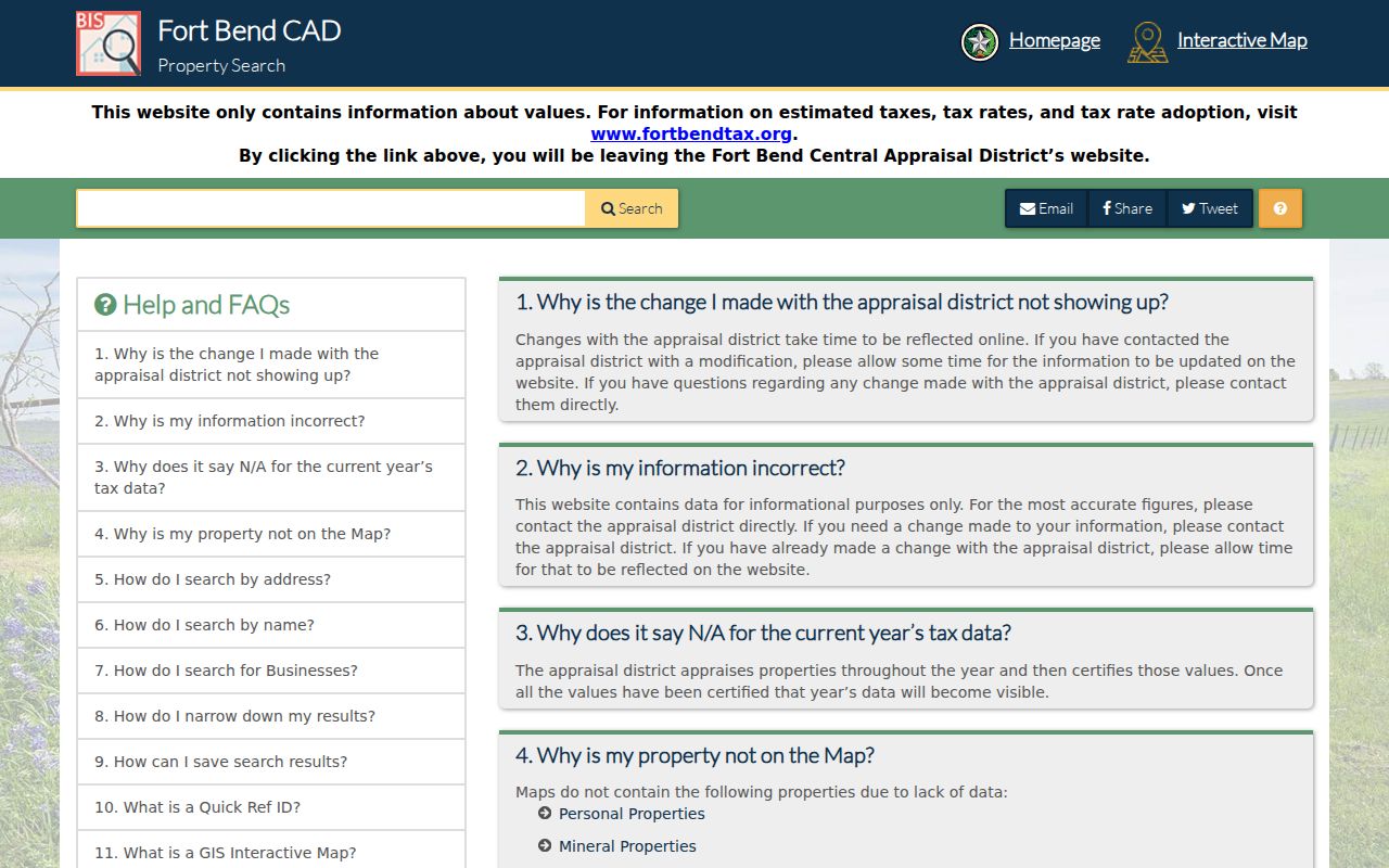
The help route is a good first stop when a street abbreviation, spacing variation, or incomplete address fails to return a parcel.
Rosenberg Street Directory Map Layers
County Public Mapping supplies a magnifying-glass search, zoom, pan, feature click, and expandable layers. Parcel, subdivision, CAD, MUD, County Assistance District, floodplain or FEMA, roads, parks, and thoroughfare-plan layers give a street its physical context. The City Map Room adds city limits, ETJ, council districts, annexations, plats, parks, zoning, planning, and development-agreement information. The maps are informational and should not be represented as a survey or a title opinion.
Use GIS to identify a parcel ID and context around the address. Compare the parcel boundary and legal description with the recorded instrument before relying on a line on the map. The public county viewer did not expose a dedicated neighbor-search control or a complete parcel pop-up inventory during research. Avoid claiming fields that were not visible.
FBCAD's public Parcels and Subdivisions FeatureServer is the technical route for those current public layers.
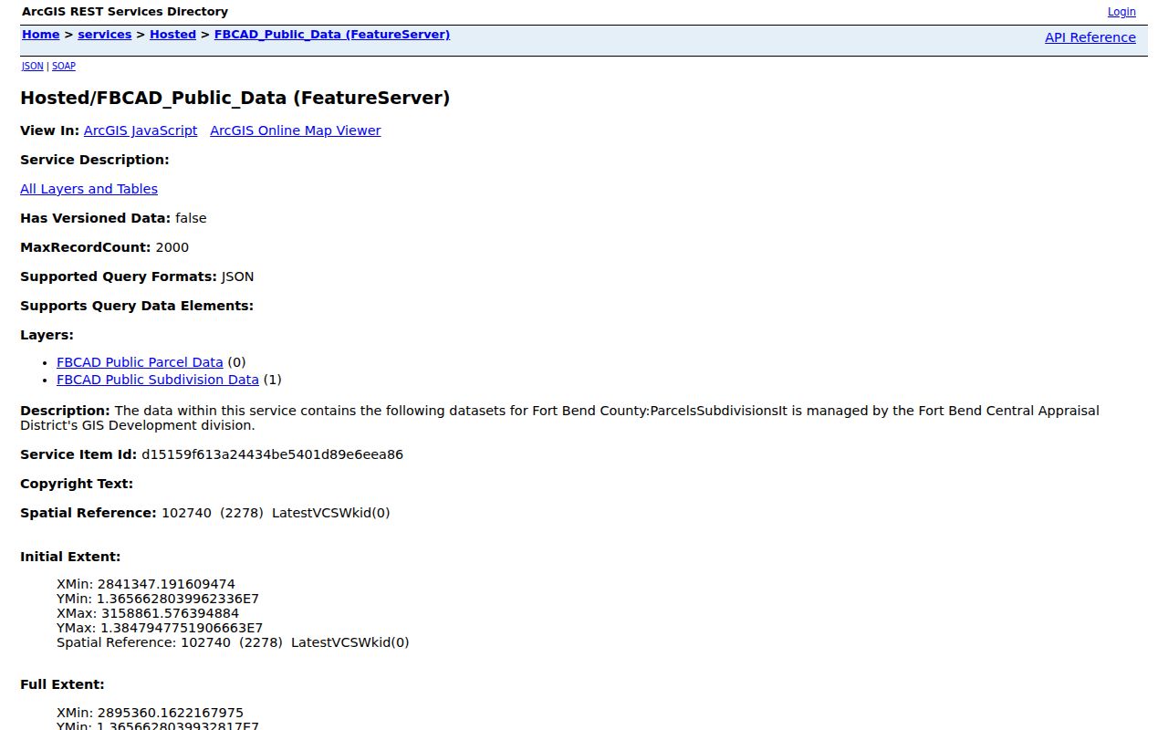
Its parcel and subdivision layers support a street-by-street map check, while recorded instruments remain the source for legal verification.
Note: Map layers provide parcel context, but the deed and plat remain the records to compare for legal boundaries.
Rosenberg Street Addressing and Units
Inside incorporated Rosenberg, the City GIS Division is the address authority. Its map can search by address, street name, and FBCAD property number beginning with R. The address-point layer appears at large scale, so select the layer, zoom closely, and click the correct point. Recorded plats are needed before official addresses can be assigned. Outside the incorporated area, Fort Bend County Engineering handles much of the verification work, and the City directs some new-address questions to CenterPoint Maps and Records.
A primary address is a number plus a road. Rosenberg recognizes secondary types such as Apartment, Building, Department, Floor, Lot, Office, Room, Suite, Trailer, and Unit, among others. Texas NextGen911 does not use fractional addresses. Search a secondary designation both as the printed form and as the City-normalized type when the record system permits it. Preserve road type and directional prefix or suffix rather than dropping them.
Rosenberg Geographic Information Systems is the city route for addressing and mapping context.
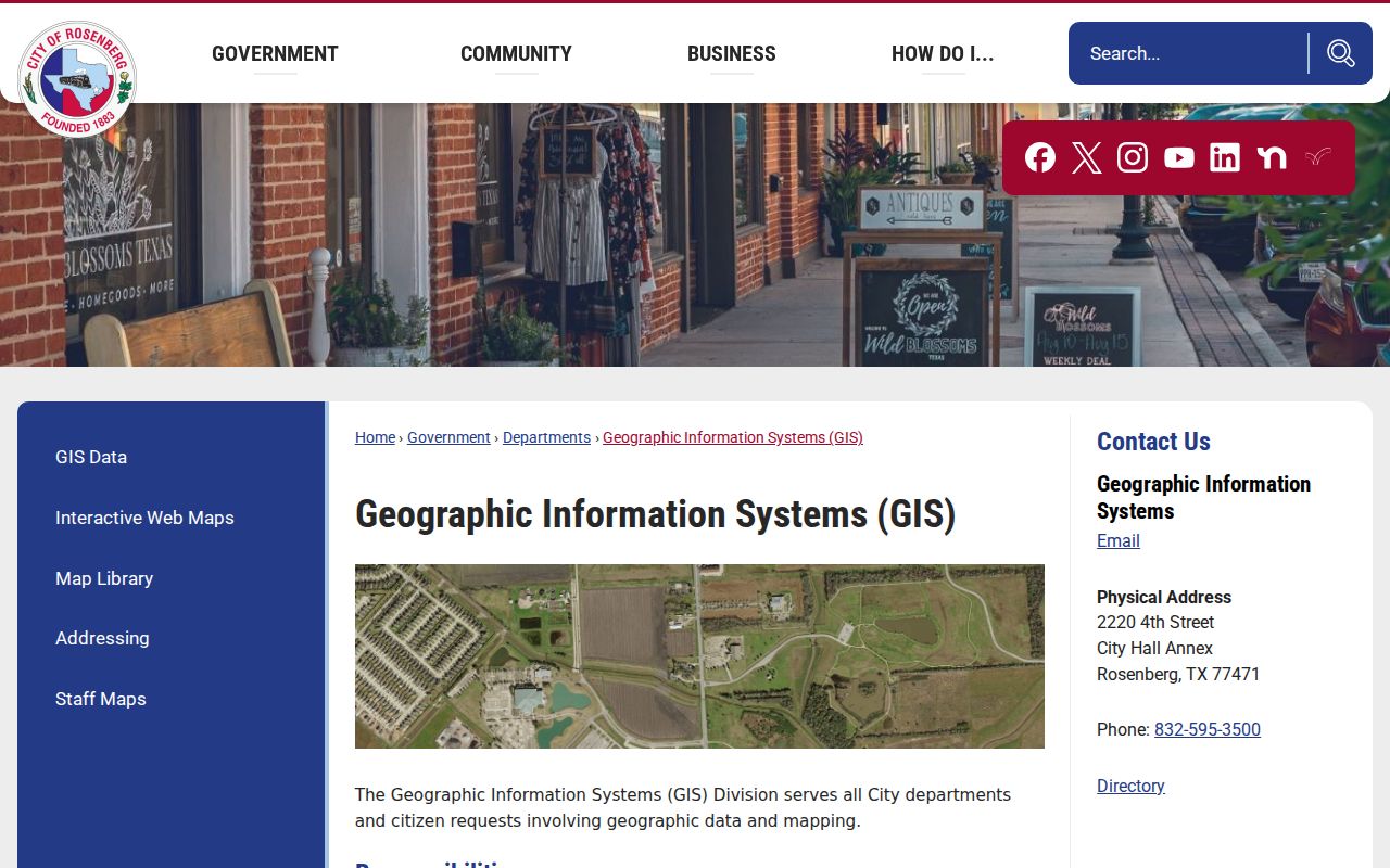
The City GIS screen helps place an address inside the proper map layer before it is matched to an appraisal or County Clerk record.
Note: An assigned address can appear in several government and utility systems at different times, so compare the record date as well as the wording.
Rosenberg Street Directory Boundaries
Postal geography and municipal jurisdiction do not always agree. The City identifies 77471 and 77469 within its jurisdiction but says that it does not control ZIP codes. USPS can search by address, city and state, or ZIP and city, and it cautions that a result does not confirm a person or company at an address. A Rosenberg mailing label therefore cannot prove city limits, court venue, permit authority, or current occupancy.
Check the current City limit, ETJ, annexation, and applicable plat or development agreement through the City Map Room and County GIS. A subdivision or MUD may cross a city or ETJ boundary, and annexation can change service context without changing a street name or postal label. Record the map date and layer name. The boundary check is particularly important before asking the City for a municipal permit or court record that could instead be held by another Fort Bend custodian.
The Brazos floodplain is another locally useful map context. Floodplain, drainage, road, and bridge information can explain why a historic address or development reference needs a map and deed comparison. It does not identify people on the street.
Rosenberg Street Directory Deed Trail
The Fort Bend County Clerk's Official Public Records library describes millions of records from 1821 to the present. Its documented index routes include party name, grantor, grantee, filing date, instrument number, and document type. Search a displayed owner as grantee to locate an incoming instrument, then use that instrument's prior party or legal description to search backward. Inspect the instrument number, filing or recording date, document type, parties, legal-description or subdivision text, and image availability.
- Parcel
- A defined piece of land used in the appraisal and mapping systems. Its identifier helps connect an address to a legal description.
- Situs address
- The physical property address shown on a parcel card. It is distinct from the owner mailing address.
- Plat
- A recorded map that lays out lots, blocks, streets, or subdivisions. It can help bridge a number change.
- Criss-cross directory
- A street-order directory section used by some directory systems. No official Rosenberg reverse-directory run was confirmed in this research.
An easement can explain access or utility context. A deed of trust identifies a lender and trustee, but not a current balance. A lien is an indexed claim, not necessarily an unresolved one. Staff cannot perform general research or choose document types for a requester, so the reproducible fallback is the Clerk's published search instructions or a defined copy request. Historic sensitive documents imported through Kofile can be indexed without a public image.
The Fort Bend County Clerk public-record portal is the starting screen for the official index.
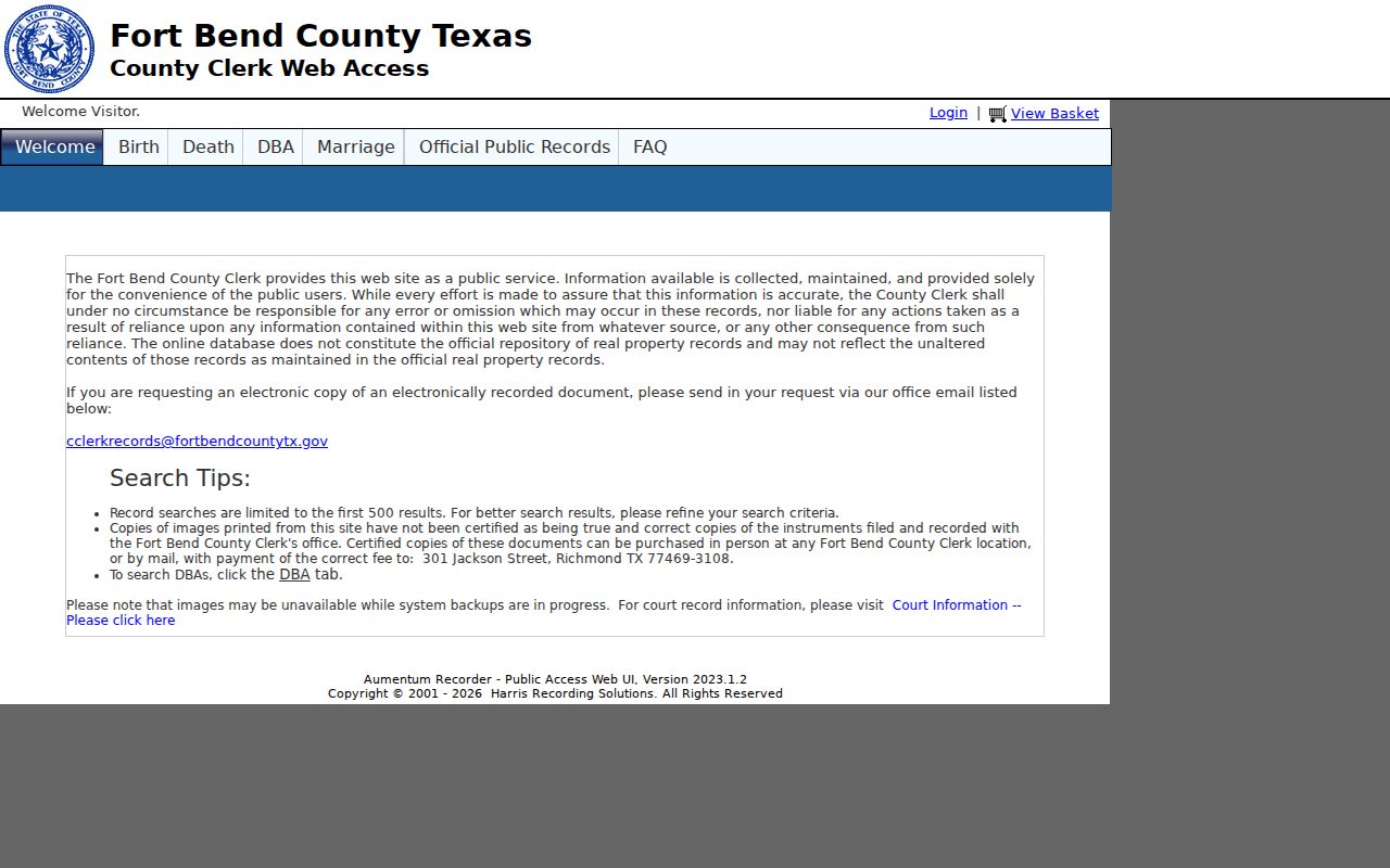
The portal tabs separate grantor, grantee, real-estate index, DBA, and other record families, which should not be blended into one street claim.
Rosenberg Street Directory OPR Search
The public real-estate index is useful when a street query has already produced a likely parcel and name. Search party roles separately, then narrow by filing date, instrument number, or document type when those details are known. The live portal showed a browser-test or session-cookie gate during research, so exact dropdown values, wildcard syntax, page size, pagination, and current image-viewer behavior were not confirmed. Do not invent a portal rule from another county system.
Copies may be requested at the Richmond office or an applicable annex. Plain copies are generally $1 per page, but the Clerk's fee page governs the exact record family and certification. The Richmond Recording Division is at 301 Jackson Street, Richmond, with 281-341-8685 and cclerkrecords@fortbendcountytx.gov. Use a defined request that identifies the party, instrument number, date range, or parcel rather than asking the office to conduct a general street search.
Fort Bend's official public real-estate search shows the dedicated official index route.
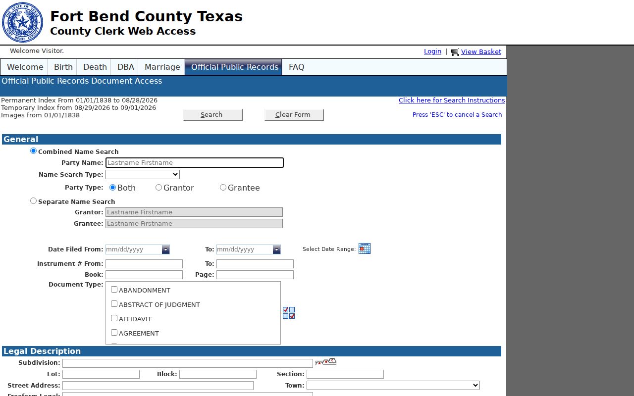
The real-estate screen supports a targeted party or instrument search after an address has been resolved to the correct parcel.
Note: Record the party role and instrument date because a grantor or grantee match alone does not establish present ownership.
Rosenberg Street Directory Historic Bridge
No official source located a complete Rosenberg street-renumbering or street-renaming chronology. That gap matters. Build an address bridge with the historical number, road name, current number if known, subdivision or lot/block, deed legal description, directory year, map source, and any annexation or plat reference. Road names may remain steadier than highway numbers. Do not silently rewrite an old address into a new form.
For pre-1900 work, Fort Bend tax rolls, deeds, probate, naturalization material, and newspapers are better starting points than a current address. The TSLAC Fort Bend guide lists tax rolls for 1838 through 1910, early deeds for 1838 through 1886, and other microfilm ranges. Its guide flags missing deed pages in volume D and duplicate or transcription treatment in volume F. The City Map Library's Richmond-Rosenberg Property Map 1939 can supply lot, road, and downtown context, but it is not a title record or full occupancy list.
Known Rosenberg-Richmond directory and telephone holdings can provide dated household or subscriber leads, but no official local reverse directory or digital Rosenberg directory sample was located. The Rosenberg directory book identifies the confirmed years, repositories, and access gaps rather than assuming a continuous street listing.
Rosenberg Street Records by Request
When a permit, map, code record, or older appraisal item is not available through a portal, name the correct holder. The City Forms page separates Police Records, Municipal Court Records, and General Records, with an online request and status route. City general records can cover permits, planning, code, meetings, or communications; County Clerk, District Clerk, FBCAD, Sheriff, a drainage district, or a MUD may hold a different part of the street record.
The Texas Public Information Act, Government Code Chapter 552, covers existing records held by governmental bodies. It does not require an agency to create a database. State guidance says a person generally need not state a purpose, but the request should specify the record type, date range, address or parcel, department, and custodian. If production cannot occur within ten business days, the body should give a date and reason. Clarification, redaction, fees, and manipulation estimates can apply.
FBCAD's certified or preliminary GIS data covers 2021 through 2026, with older material available by Public Information Request. The City moved permit and plan activity to MGO in 2025, while prior records may need a City request. An application or project form identifies what to ask for, but not proof that work was approved or completed.
Note: Ask for an existing record by address, parcel, department, and date range instead of requesting a newly compiled street list.
Limits of a Rosenberg Street Directory
No official Rosenberg street-by-street resident roster was located. An appraisal record can show ownership and a mailing field, not a complete list of people at the situs address. A map can show a parcel, not private contact information. A permit applicant, owner, contractor, registered agent, or licensee can each be a different person. A voter inquiry is primarily an individual's registration tool, while a statewide list request is regulated and is not a general street directory.
Texas protections are record-specific. Election Code §13.004 protects specified voter identifiers, and the Address Confidentiality Program can provide eligible participants with a substitute address. The Driver's Privacy Protection Act and Texas Transportation Code Chapter 730 restrict motor-vehicle personal information. Do not try to reconstruct a protected home from parcel, voter, court, or historical-directory fragments, and do not publish sensitive identifiers or private phone information.
Lawful use. Use Rosenberg street directory records for personal, lawful property history, family research, civic context, or verification of a specific public record. Never use an address trail to stalk, harass, intimidate, impersonate, or harm another person.